
21.08.2010, 07:33
This is a code that's part of my point system and the problem is when it gets announced, it just says "The (blank spot) has become available to capture" I want it to read from my points.cfg file so the name gets announced of what's available to capture. Even though the %s is there, it still doesn't say what available to capture.
And my points.cfg file consists of
What would I do the modify the points.cfg to get it to say what's available to capture? Or how would I make the point system read from the points.cfg?
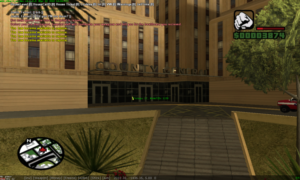
Here's a picture of what it does.
Code:
public PointCheck()
{
	new string[128];
    for(new p = 0; p < sizeof(PointInfo); p++)
    {
        if(PointInfo[p][PointTime] == 0)
        {
            format(string, sizeof(string), "The %s has become available to capture.",PointInfo[p][PointName]);
            SendClientMessageToAll(COLOR_YELLOW, string);
            PointInfo[p][PointTaken] = 255;
            AnnouncePoint();
        }
    }
    return 1;
}
Code:
0||Varrio' Los Aztecas|Franky_Pacino|11
0||Varrio' Los Aztecas|Franky_Pacino|12
1||Black Crescent|Anthony_Girit|14
1||Black Crescent|Anthony_Girit|13
1||Black Crescent|Anthony_Girit|16
255||||0
255||||0
255||||0
1||Black Crescent|Anthony_Girit|10
0||Varrio' Los Aztecas|Franky_Pacino|22
Here's a picture of what it does.
